NEXRAD Radar Pulses in Florida Weakened as Hurricane Milton Passed, Stoking Weather Manipulation Theories: Video, Still Frame Analysis
As the storm crossed the state, NEXRAD radar pulses in central and southern Florida diminished significantly in intensity and brightness.
In recent days, citizens have scrutinized video footage showing synchronized pulses from the NEXRAD (Next Generation Weather Radar) system, particularly as Hurricane Milton crossed Florida.
Follow Jon Fleetwood: Instagram @realjonfleetwood / Twitter @JonMFleetwood / Facebook @realjonfleetwood
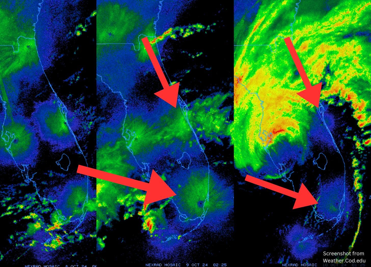
New video and still images obtained by this website reveal three distinct radar pulses from the system from October 8–10.
Interestingly, during the third pulse—when Milton was directly over Florida—the radar emissions in the middle and southern regions of the state appear significantly dimmer than in the previous pulses.
In other words, radar stations across Florida fired for the first two pulses, but the stations Milton flew over stopped firing on the third pulse, when the weather system was overhead.
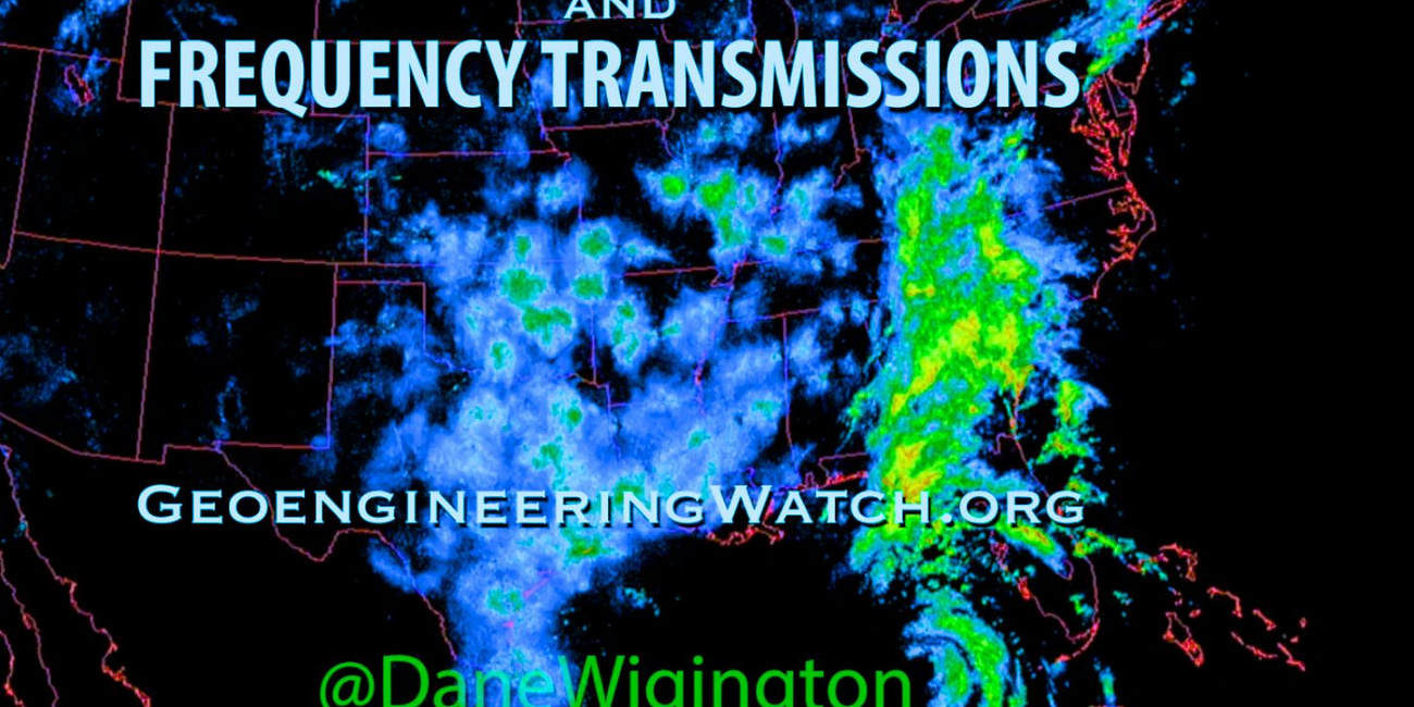
These observations seem to align with geoengineering researcher Dane Wigington’s theory that NEXRAD pulses could influence weather patterns by altering storm trajectories.
NEXRAD is a national network of high-resolution Doppler weather radars operated jointly by the National Weather Service (NWS), the Federal Aviation Administration (FAA), and the U.S. Air Force.
These radars transmit powerful bursts of radio frequency (RF) energy into the atmosphere in the S-band frequency range (2700-3000 MHz), reportedly to detect precipitation and wind patterns.
Each pulse transmits at an astonishing peak power of one million watts, according to the U.S. Department of Commerce’s National Telecommunications and Information Administration, equivalent to the power output of 1,000 microwave ovens.
When concentrated in a single direction, however, this power output reaches an effective radiated power (ERP) of 32 Gigawatts in a single transmission.
For rough perspective, one Gigawatt is approximately the output of a large nuclear power plant.
With 159 NEXRAD stations across the U.S. each potentially emitting tens of millions of pulses per day, the scale and reach of this radar network are massive.
Geoengineering experts like Wigington have long questioned the role of NEXRAD transmissions in weather manipulation.
He asserts that atmospheric frequency transmissions can repel air masses, especially when those masses contain electrically conductive nanoparticles.
The bright blue and green flashes on NEXRAD radar indicate a powerful repelling effect on weather systems in the vicinity.
This effect can steer storms away from areas with strong radar pulses, potentially guiding hurricanes like Milton along specific paths.
In new video footage obtained by this website, the pulses from Florida radar stations were notably diminished as Hurricane Milton crossed the state, allowing the storm to move freely over the region.
Areas with no blue flashes from the radar signals could indicate no atmospheric interference, allowing a storm to migrate unimpeded.
By contrast, areas with strong radar pulses may “repel” the weather system, redirecting them in predictable ways.
Video Analysis
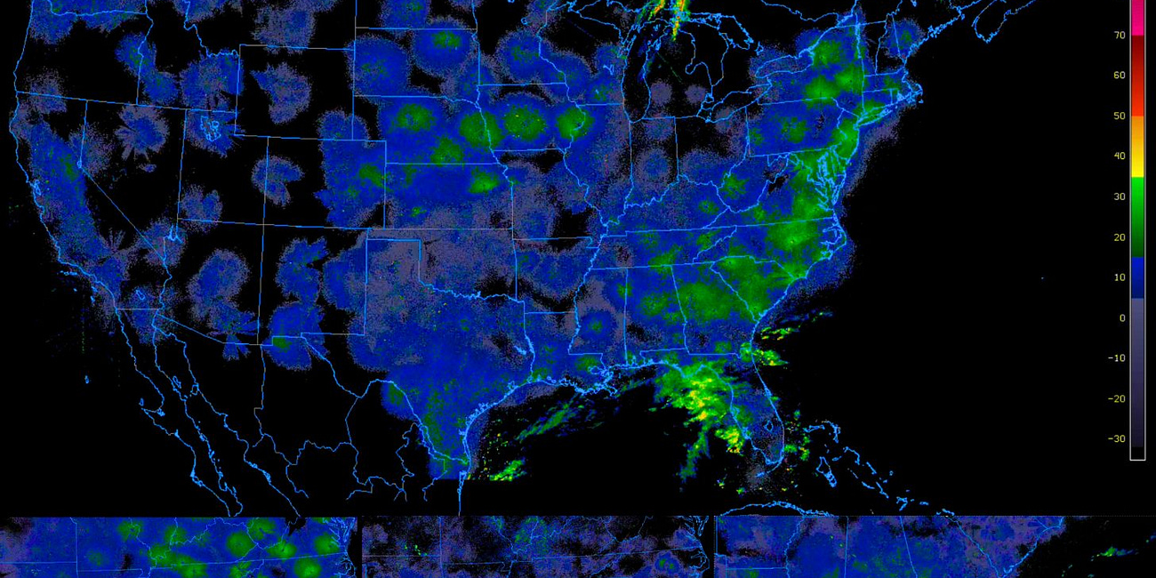
Here’s a continental view of the three pulses from Oct 8–10, as Hurricane Milton passed over Florida obtained from the College of DuPage (COD) website:
Here’s a regional view:
Here’s a sub-regional view:
Follow Jon Fleetwood: Instagram @realjonfleetwood / Twitter @JonMFleetwood / Facebook @realjonfleetwood
Still Frame Analysis
This website also compiled still frames of each of the three pulses at their respective approximate peaks.
The images show each pulse across all NEXRAD stations becoming noticeably weaker in intensity and brightness than the last.
The closer Milton gets to Florida, the less powerful the continental pulses appear, too, with pulses in the middle and southern regions of Florida becoming significantly more diminished on the third pulse.
Here are images of the three pulses from a continental view:
Here are stills of the three pulses from a regional view:
Here are three stills depicting the three pulses from an even closer perspective, clearly revealing diminished NEXRAD pulses coming from the middle and southern portions of Florida, while those in the panhandle maintain their brightness:
The implications of these observations are significant.
If this theory is accurate, the NEXRAD radar network could be impacting storm paths, and the recent radar behavior during Hurricane Milton raises fresh concerns about intentional or unintentional weather manipulation.
Follow Jon Fleetwood: Instagram @realjonfleetwood / Twitter @JonMFleetwood / Facebook @realjonfleetwood
NOAA Admits 'Weather Modification' Lasers, Aerosols, 'Releasing Electrically Charged or Radioactive Particles, or Ions, Into the Atmosphere' (Video)
Hurricane Milton, now labeled the “storm of the century,” is forecasted to make landfall in Florida tonight and into early Thursday. Residents are closely monitoring NEXRAD radar transmissions, amid concerns they may be influencing the storm’s path.
New NEXRAD Frequency Transmissions, Laser-Like Anomalies, Unprecedented Storm Path of Hurricane Milton Raise Questions (Video)
In recent days, a powerful convergence of forces has caught the attention of residents and researchers alike: Hurricane Milton, a rapidly intensifying storm with an unusual west-to-east trajectory, is poised to bring catastrophic damage to Florida’s Gulf Coast, while peculiar NEXRAD radar transmissio…
Will NEXRAD Frequency Pulses Keep Hurricane Milton Localized to Florida? (Watch Video)
With Hurricane Milton now at a catastrophic Category 5, many are questioning if its trajectory is entirely natural—or if it’s being influenced by external factors.
Was Hurricane Helene Engineered? Geoengineering Expert's Bombshell Claim of Human Manipulation Behind Deadly Storm (Video)
As the death toll from Hurricane Helene climbs past 100, Dane Wigington, lead researcher at Geoengineering Watch, is questioning whether the storm’s destructive path was a natural event—or manipulated.
Ex-U.S. Air Force Officer Exposes Government's Weather Modification and Chemtrail Activities (Video)
Kristen Meghan, a former U.S. Air Force officer who specialized in bioenvironmental engineering, has come forward with allegations that the U.S. government is involved in weather modification through the use of hazardous chemicals, a practice often referred to as “chemtrails.”
RFK Jr. Vows to End Chemtrails: 'We Are Going to Stop This Crime'
Robert F. Kennedy Jr. (RFK Jr.) on Monday vowed to stop airplanes from carrying out the “crime” of spraying chemicals, often referred to as “chemtrails,” into the sky behind them as they fly for geoengineering purposes.
Tennessee Says It Can't Enforce 'Chemtrail' Ban Because Federal 'Clean Air Act' Enforced by FAA Won't Let Them
Tennessee authorities are claiming they can’t enforce recently passed legislation in their state that prohibits geoengineering practices involving the release of chemicals into the sky, what some call “chemtrails,” because the state doesn’t have jurisdiction.


